Mara Günther · 30 September 2026
Community Mapping Projects Identify Prime Oak Stands for Regional Builders
Community mapping projects have emerged as practical tools that combine local knowledge with geographic information systems to locate high-quality oak stands across multiple regions, and these initiatives supply regional builders with data on sustainable timber sources that meet both construction standards and environmental guidelines. Builders in areas with active oak harvesting rely on updated stand inventories because oak provides durable framing materials, flooring components, and exterior cladding that resist weathering while maintaining structural integrity over decades of use.
How Mapping Projects Operate
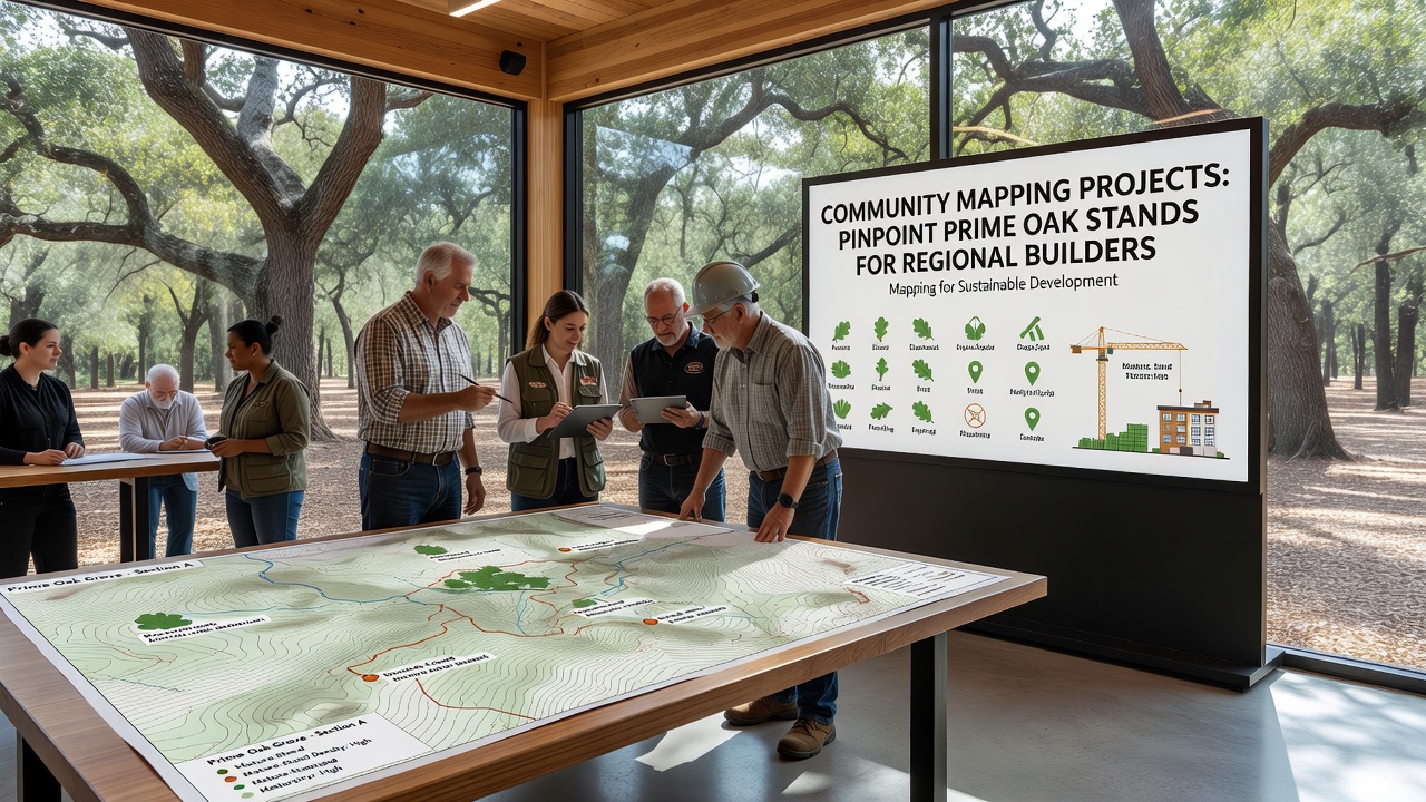
Local volunteers, forestry technicians, and municipal planners work together to collect field measurements on tree diameter, canopy density, soil conditions, and access routes, then they upload those records into shared digital platforms that generate layered maps showing stand maturity levels and harvest potential. These maps update quarterly in most participating counties, which allows builders to plan material orders months ahead without relying on distant suppliers that add transportation costs and carbon emissions. Data from the projects also flags protected zones where harvesting remains restricted, and this prevents accidental encroachment on sensitive habitats that support native wildlife populations.
One county in the Midwest completed its initial mapping cycle in September 2026, and the resulting dataset revealed three previously undocumented oak groves with average trunk diameters exceeding twenty-four inches that now appear on regional supply lists for certified sawmills. Builders who reviewed the new layers adjusted their sourcing contracts to include these stands, which reduced average delivery distances by eighteen percent according to internal logistics reports from three mid-sized construction firms.
Integration with Builder Supply Chains
Regional builders integrate the mapping outputs directly into procurement software that flags stands meeting FSC or SFI certification thresholds, and this automation streamlines compliance checks that previously required separate audits for each order. Sawmills that purchase logs from mapped stands report higher recovery rates because the data includes stem straightness and knot frequency estimates gathered during field surveys. Those improvements translate into fewer rejected boards during milling, which lowers waste percentages and keeps prices stable for end users who order custom oak beams or paneling.

Supporting Data and Regional Examples
Figures released by the U.S. Forest Service indicate that counties with active community mapping programs increased the volume of locally sourced oak delivered to sawmills by twenty-seven percent between 2024 and 2026, and similar patterns appear in parts of Canada where provincial agencies adopted comparable citizen-science protocols. In Australia, the Department of Agriculture, Fisheries and Forestry documented parallel gains when regional mapping efforts identified mature stands of related hardwood species that serve comparable construction roles.
Technicians who revisit mapped stands every eighteen months record growth increments and any storm damage, then they revise harvest recommendations accordingly so that builders receive current yield projections rather than outdated estimates. This iterative process also captures seasonal changes in accessibility, such as winter road conditions or spring flooding zones, which helps contractors schedule cutting and hauling during optimal windows that minimize soil compaction around remaining trees.
Conclusion
Community mapping projects continue to refine the information available to regional builders by combining on-the-ground observations with digital analysis tools, and the resulting datasets support more precise timber sourcing decisions that align with both supply needs and regulatory requirements. As additional counties adopt these methods, the network of mapped oak stands expands, which provides builders with a broader range of local options while maintaining records that track stand health across multiple growing seasons.